
Ok, exploring the landscape let’s start with a small slice
of woodland in the northwest segment of the recording area, called Whetsted
Wood.

The wood is sliced in two by the main railway line and the
northern section is on private land and so not easily accessible. The southern
section of the wood has a public footpath & field ditch along its southern boundary
and the Tudeley Brook running along its eastern edge.
Historical Use
 1940 View
 1960 View
 1990 View
As can be seen in the photo maps above, from the Google
Earth Timeline feature, the southern section of Whetsted Wood is really a small
copse, with a history of past coppicing, which seems to have ceased in the late
1980’s. The northern section appears to have been allowed to become permanent
woodland habitat, since the 1940’s and extended westwards into an adjacent
field.
January 2016
I approached the wood using the public footpath from the
Allington Road housing estate which, subsequently crossed an arable field,
currently planted with kale. The back gardens of the houses / arable field margin, marks the edge of the ‘green belt’, a
1950’s planning designation, indicating that further development is not allowed beyond this line. So currently the town cannot expand further in a westerly direction.
Exploring the accessible southern section of the wood, the
woodland is a mixture of young‘standard’ oak trees (Quercus robur) and an under-story of coppiced ash & hazel trees,
plus a smattering of hawthorn, birch, holly, field maple, with willow and aspen
/ poplar trees along the wetter boundaries. One or two trees have blown over in
the past, but there is not much dead wood on the woodland floor.

The view from the Tudeley Brook, looking west.
There is also little in the way of a shrub layer and so the view is quite open in the winter. Although freely seeded young birch trees, growing close together, give the western end of the wood a less open vista. Additionally, I noted a larger area of bracken near to the western end, but at present very little ground vegetation is on view.
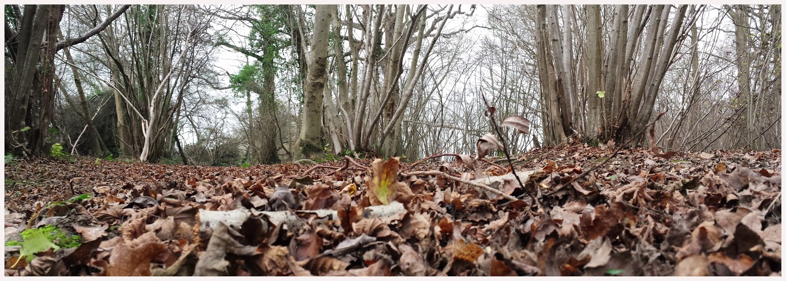
Worms eye view !

The Tudeley Brook was very shallow at the time of my visit, no higher than mid-calf
on my wellies. Although, as can be seen in the photographs,
the banks of the brook / stream indicate a much higher water level can be
expected during heavy, or prolonged, periods of rainfall.

Two views of Tudeley Brook
The wood appears to have a number of resident robins, with a
coppiced hazel tree used as a regular singing post (where the Tudeley Brook leaves
the wood under the railway line) for one male bird.

Songster in mid tweet.
The rain became more persistent as the afternoon progressed and
daylight faded, so this bought an end to the exploration of Whetsted Wood for the meantime.

Sunset over the fields.
I will explore the wood, plus the surrounding arable & grass fields, at a later date and provide an update on the wildlife of the area, as the seasons change.
I will explore the wood, plus the surrounding arable & grass fields, at a later date and provide an update on the wildlife of the area, as the seasons change.
Great pictures! Especially our beautiful songster,The Robin.😉
ReplyDelete